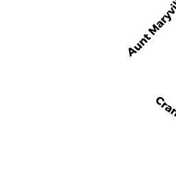
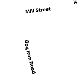
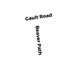
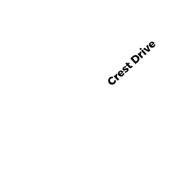
43 GAULT RD
Owner Information
LESTER PHYLICIA
17 FOSTER ST UNIT 7
BROCKTON, MA 02301


Property Details
43 GAULT RD is classified as a Two-Family Residential (Two family).
The primary structure on this property was built in 1900. There are 4463ft2 of built area within this property. There is 2764ft2 of residential/living space within this property. This property is listed as having 12 rooms.
43 GAULT RD is valued at 301500. The land is valued at 93600 and the structures are valued at 207700. There is an additional valuation of 200 on this property.
This property is in Zone MR30. Confirm with local Zoning Board authorities to ensure there are no overlays or other easements on this property.
The most recent deed for 43 GAULT RD is recorded at the local registrar in Book 46652, Page 0251. 43 GAULT RD was last sold on 2016-03-04 for 265000.
Assessment data from fiscal year 2022.
Flood Data
According to the FEMA National Flood Hazard Layer, this property does not appear to be in a flood zone. It may also be in an area not yet reviewed. Nonetheless, confirm this information prior to taking any action.
To view the flood hazards around this property, create a FEMA "Firmette" Map of the area around 43 GAULT RD.
Broadband Internet Providers
| Provider | Type | Bandwidth (mbps) | |
|---|---|---|---|
| Viasat Inc | Satellite | 35 | 3 |
| Verizon New England Inc. | DSL | 5 | 0 |
| Verizon New England Inc. | Fiber | 940 | 880 |
| Comcast | Cable | 1000 | 35 |
| GCI Communication Corp. | Satellite | 0 | 0 |
| HughesNet | Satellite | 25 | 3 |
| VSAT Systems, LLC. | Satellite | 2 | 1 |
Broadband service provider data from December 2020.
Adjacent Properties
- 39 GAULT RD
Other (Religious Org.) owned by ROMAN CATHOLIC BISHOP - 45 GAULT RD
Single Family Residential owned by KERWIN JOHN P - 3 WEAVER ST
Two-Family Residential owned by LEAMAN JOSEPH D - 1 WEAVER ST
Single Family Residential owned by KEITH CHRISTINA J - 9 WEAVER ST
Single Family Residential owned by FLORINDO FRANCES P - 2313 CRAN HWY
Agricultural/Horticultural Land not included in Chapter 61A owned by FLORINDO GARY F - 0 TERRY LN
Improved, Selectmen or City Council (Municipal) owned by TOWN OF WAREHAM - 0 FONSECA WY
Undevelopable Residential Land owned by CORNERSTONE ESTATES 2